|

Photograph by Edward L Williams
Location: On SH 31, across street from Powell State Bank on S. side
of Rd in Powell, Navarro Co., Texas
See Also:
|
The
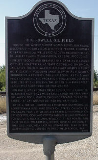
Powell Oil Field
One of the world's most
noted petroleum fields. Discovered 1905; developed in three periods. A
number of early shallow wells (800' - 1,000' in Nacatoch sand) drilled
by Claude Witherspoon, are still producing.
Field's second and
greatest era came as a result of three heartbreaking years of drilling.
On Sunday, Jan. 7, 1923, the W. H. Warren-R. K. Blackshear "J. H.
Burke No. 1" (2,933' in Woodbine sand) blew in a gusher, triggering
a feverish drilling boom. As this was prior to spacing and proration
regulations, derricks sprouted by the dozens. The site of "J. J.
Burke No. 1" is one mile southwest of this marker.
On May 8, 1923, another
great gusher, the "J. K. Hughes-W. J. McKie No. 1" (2.25 mi.
SW), blackened the area with oil which soon ignited causing 15 deaths.
This 8,000-barrel-a-day gusher defined the main pool.
By fall, the
six-square-mile field was out-producing Pennsylvania plus nine other oil
states. On Nov. 23, 1923, came the peak day of 354,893 barrels. The
population skyrocketed. Corn and cotton patches became town-sites for
Oil City, Tuckertown, Wildcat. In 1923, Powell ran over 30 million
barrels; in 1924, over 40 million. It then declined, with its last
million-barrel year in 1931. (1973) (Powell State
Highway 31, across from Powell State bank)
|